Benefits
AI chat, Consult and Message with your Travelers
Personalization of Trip ideas
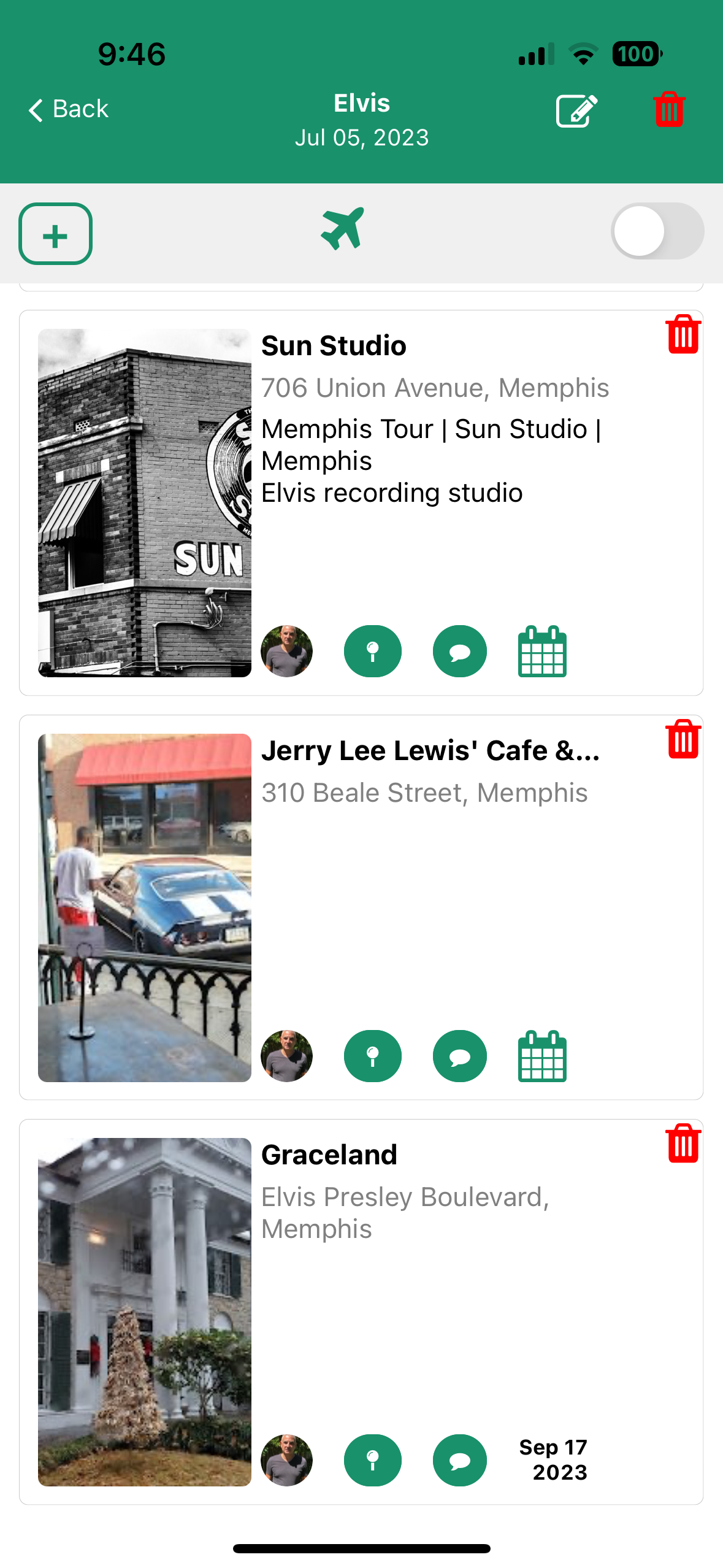
Mobile app so all travelers have access to Itinteries and Trip ideas

AI chat, Consult and Message with your Travelers


Personalization of Trip ideas


Mobile app so all travelers have access to Itinteries and Trip ideas

Right now there is no reservations.
Send your reservation and other emails to this email address.
@go.slide.travelYou have no payment history
Right now nothing in the todo list
Thanks for contacting us! We will get back to you very soon.
Loading experience...